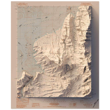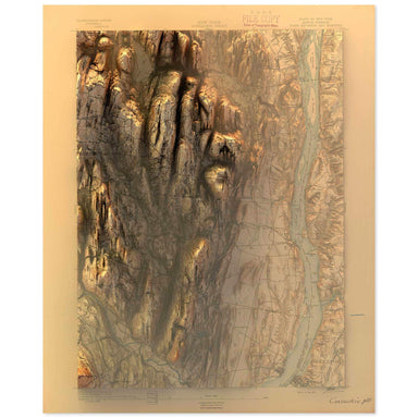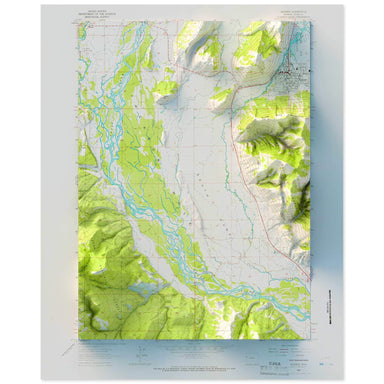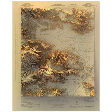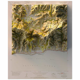
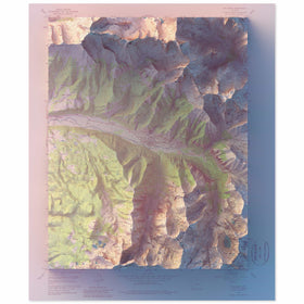

Half Dome, Yosemite National Park
from $55.00
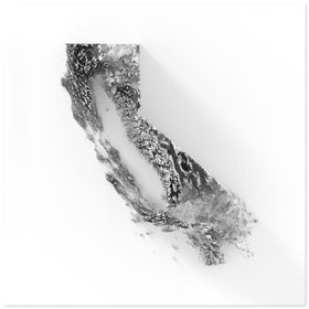
1990 USGS Map of Yosemite National Park combined with a digitally-rendered 3-dimensional elevation. 2D print Lustre Photographic Prints: Archival ...
View full details